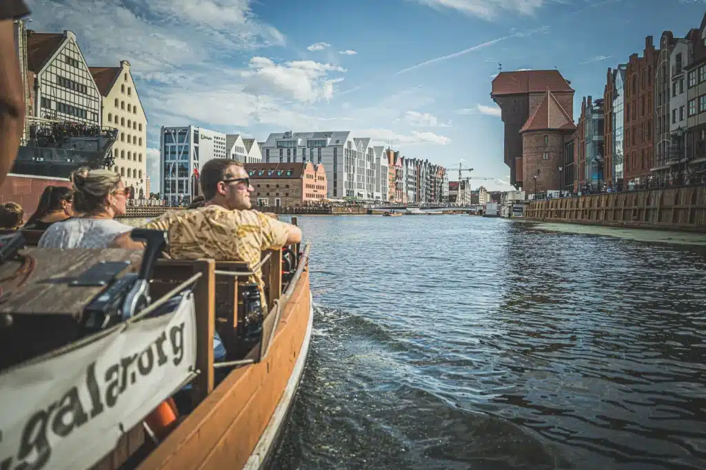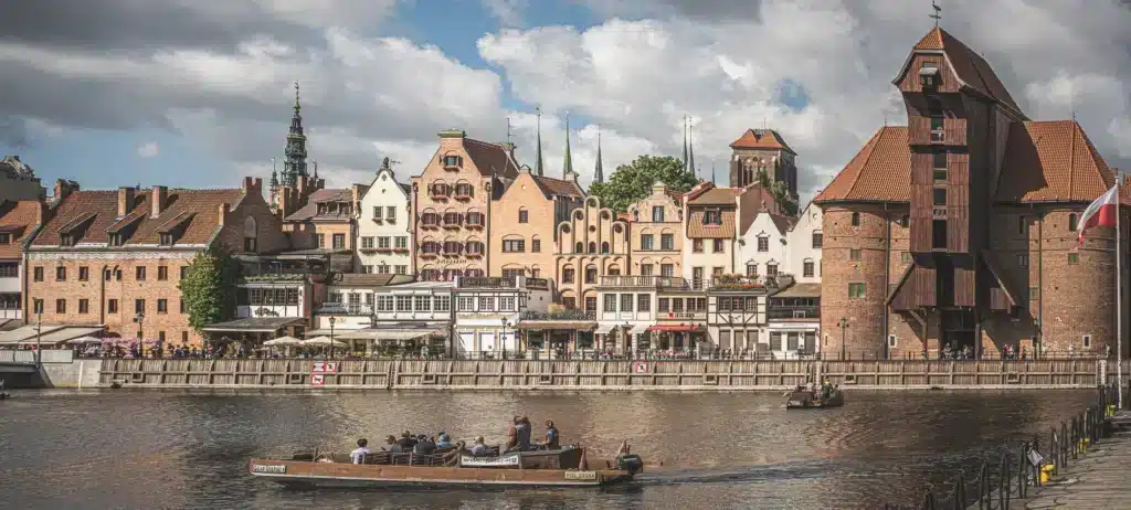


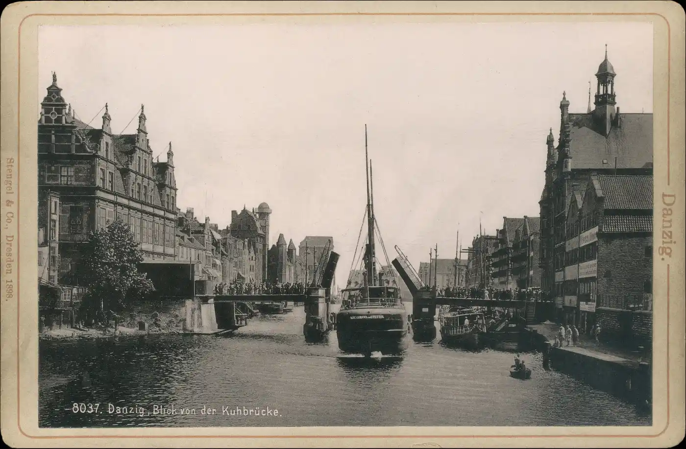

Between the Green Gate and Stągiewna Street, the road crosses the Motława. Today, the bridge allows you to walk from the Main Town to Granary Island, but old photographs also show tracks, cables and raised sections of the carriageway here. Each of these details serves as a reminder of a different way of using this port city.
First there was the Kogi Bridge
The crossing was first mentioned as early as 1357. Its former name, the Kogi Bridge, linked it to the neighbouring gate and the world of medieval shipping. The bridge provided access to the port’s warehouse area, whilst also blocking the path of vessels travelling up the river.
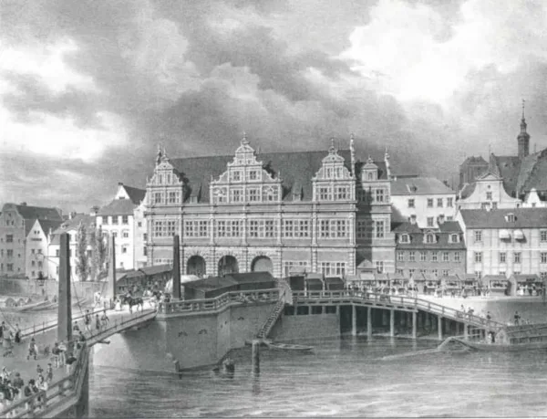
In the 16th century, the crossing was rebuilt according to a design by Dirc Danils. The name ‘Green Bridge’ emerged, later also applied to the gate. Its origin is sometimes attributed to the greenish stone or a patina on the supports, but Gedanopedia suggests that a more likely explanation is the colour of the paint covering the wooden elements.
When ships had right of way
The movable section of the bridge allowed vessels whose height prevented them from passing under the closed span to cross. In old depictions, one can see a structure with tall pillars. The ropes and counterweights running through them facilitated the raising of the bridge.
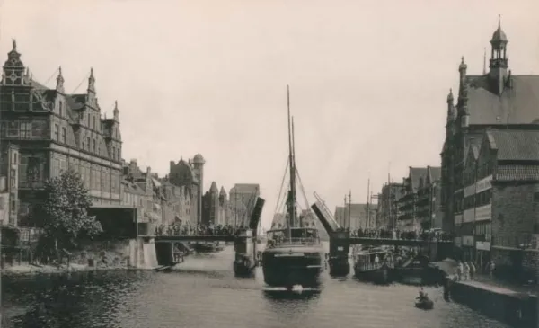
For pedestrians, this meant a delay on their journey. For crews, it offered the chance to travel further into the harbour. The raised spans best illustrate how two important routes – land and water – had to share a single space. This archive photograph captures precisely such a moment of waiting.
Steel, trams and new mechanisms
In 1883, a steel structure resting on brick piers was erected by the Beuchelt company from Zielona Góra. The next major modernisation took place in 1928. The bridge was fitted with new lifting mechanisms, and the technical solutions also had to accommodate the tram network’s overhead lines.
It is therefore worth looking for more than just ships on postcards. The tracks, poles and layout of the cables help to reveal the bridge’s function as part of the city’s transport network. Today’s peaceful stroll takes place in a spot that once required the coordination of several types of traffic.
A post-war bridge for a new city
Following the war damage, the bridge was reopened in 1948. It retained the form of a bascule bridge, but the mechanism remained immobilised. Trams ceased running across it in 1959, and a renovation in 1993 cemented its status as a fixed pedestrian bridge.
The history of the bridge is best viewed from two perspectives: from the bridge itself and from the water. From above, you can see the connection between the city and Granary Island; from the river, the piers and the clearance. You can read about the neighbouring stately building in the post ‘Zielona Brama’.